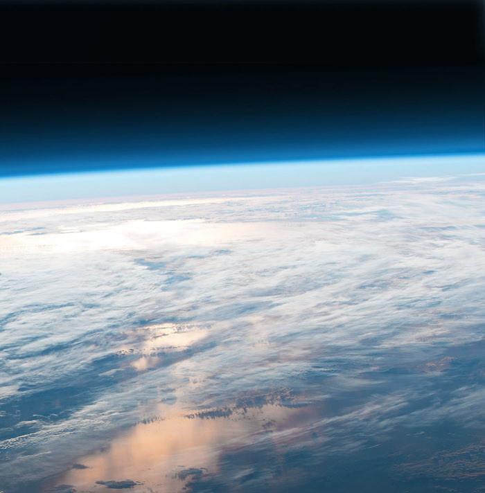
Space watch enhanced
 Researchers have developed new ways to use AI to enhance satellite monitoring.
A new method to assess different satellite designs using a powerful AI technique to more cheaply monitor Earth from space has been released.
The new methods should reduce the cost of Earth Observation satellites while keeping the quality of images high.
Traditionally, designing and operating Earth observation satellites involves trade-offs between the size, cost and quality of different hardware options.
Dr Steve Petrie, Earth Observation Research Fellow at Swinburne, was part of the team developing the innovative method.
“We used AI to compensate for compromises limitations in satellite hardware that degrade the quality of images,” he says.
“The glass lens was the most difficult component to compensate for, suggesting that satellite designers should not compromise on the quality of the lens relative to the quality of other components.”
Taking images of the Earth's surface is important for many applications, from monitoring climate change and biodiversity loss, to tracking extreme events like bushfires and floods.
Lowering the cost of Earth observation satellites will allow better tracking of these important phenomena.
Professor Alan Duffy, Swinburne Pro Vice-Chancellor of Flagship Initiatives says “the new method demonstrates how AI can enhance images of Earth beyond the limits of the satellites themselves”.
“This provides higher-quality data with potentially lower-cost satellites and can help drive the uptake of Earth Observation as a tool for everything from agriculture to mining.”


 Print
Print