


Soil study gets specific
 Print
Print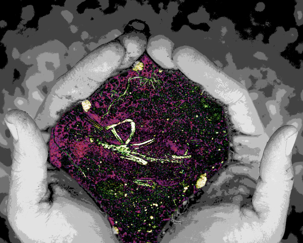 Researchers are classifying the different influences on soil carbon capture.
The study provides new insights to support more effective management of soil carbon in a bid to help combat global greenhouse gas emissions and climate change.
Curtin University experts say that the amount of carbon in the soil, its composition and its vulnerability to loss at any location is controlled by a range of factors that can differ at the local, regional and continental scales.
Soil is both a source of carbon to the atmosphere as well as a potential sink. Soil can be used to store carbon that has been released into the atmosphere from other human activities, making it an important weapon to fight climate change.
The research used a machine learning method and more than 5,500 sensor measurements of the soil organic carbon components, the particulate, humus and resistant organic carbon fractions, which decompose at different rates.
At the continental level, the research showed that climate, soil properties and elevation were the most important factors controlling soil carbon storage.
It also found influential region-specific controls that affect the variability of the organic carbon fractions and vulnerability.
Soil carbon modelling is undertaken at a range of scales using a variety of models for different purposes.
Global climate models use continental scale soil carbon estimates for global carbon budgeting, but the study shows that extending this approach to local management of soil carbon is possibly erroneous and potentially expensive.
Regionally, the effect of climate on soil carbon storage is dependent on interactions with soil properties, mineralogy and topography. In some regions, climate does not play a role,” Professor Viscarra Rossel said.
“This shows the need for localised assessments of soil carbon dynamics and a more effective approach to carbon management at local scales.
“This new knowledge has implications for us meeting the triple challenge of climate change, landscape restoration and food security. It also helps with the 4 per 1000 global initiative, which encourages farming practices that maintain or enhance organic carbon stocks in agricultural soil to ensure sustainable agriculture in the face of climate change.”
As part of the research, the team also created digital maps of the soil organic carbon fractions and vulnerability to a depth of 30cm.
The maps provide information on more than two billion 90m x 90m blocks across Australia and come with estimates of uncertainty.
The digital maps of the particulate, humus and resistant organic carbon are being used in the soil carbon model of the Australian National Greenhouse Gas Inventory System to improve its estimates.